
Mining Deposits: FCFA 5.7 Billion For Geological
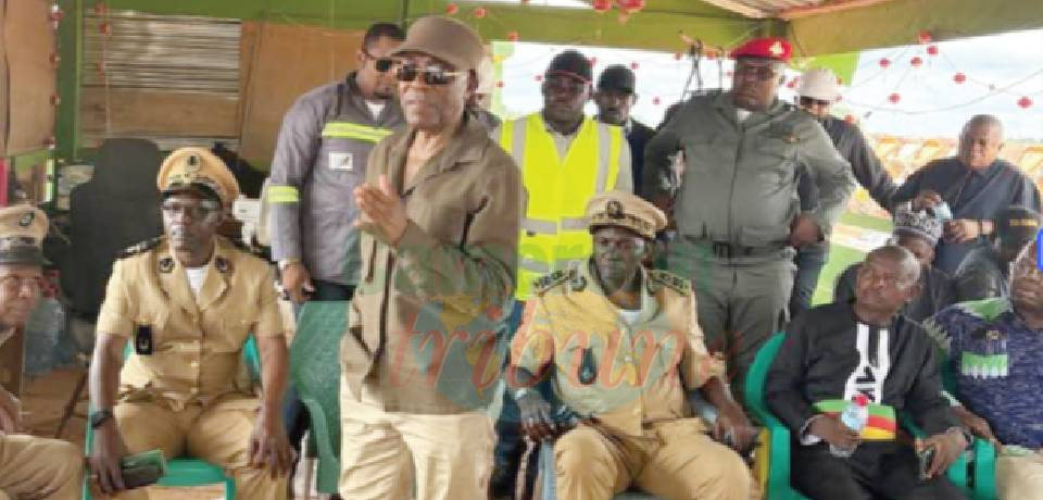
The operation to last 30 months in some regions of the country was launched in Yaounde on January 24, 2017.
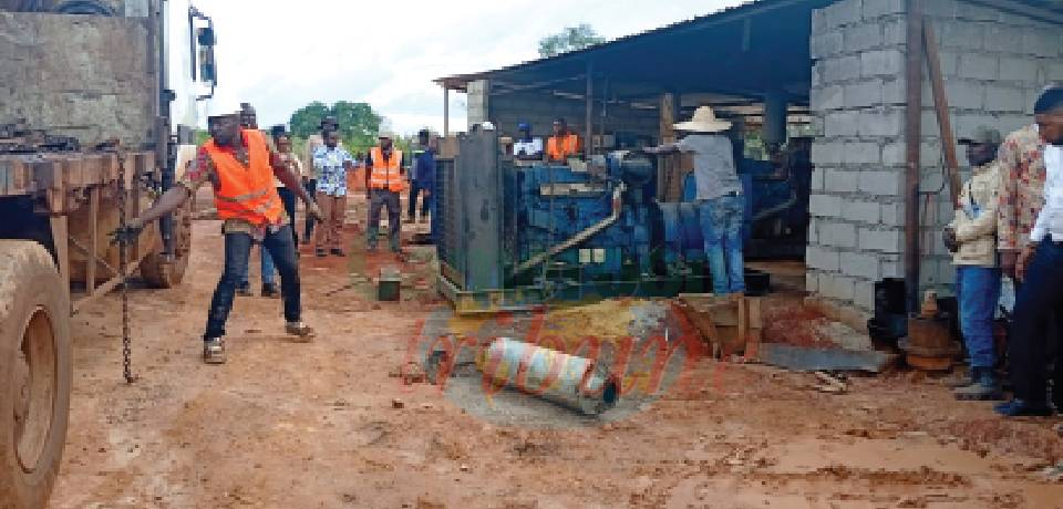
Geologists from the BRGM/GTK/BEIG3 consortium will in the days ahead begin surveying sites in the Adamawa, Centre, East, Littoral, North West and South West Regions within the framework of a campaign to map geological and geochemical sheets that will culminate in the establishment of a Geological and Mining Information System in Cameroon. The campaign was launched in Yaounde on January 24, 2017, by the Minister of Mines, Industry and Technological Development, Ernest Gbwaboubou.
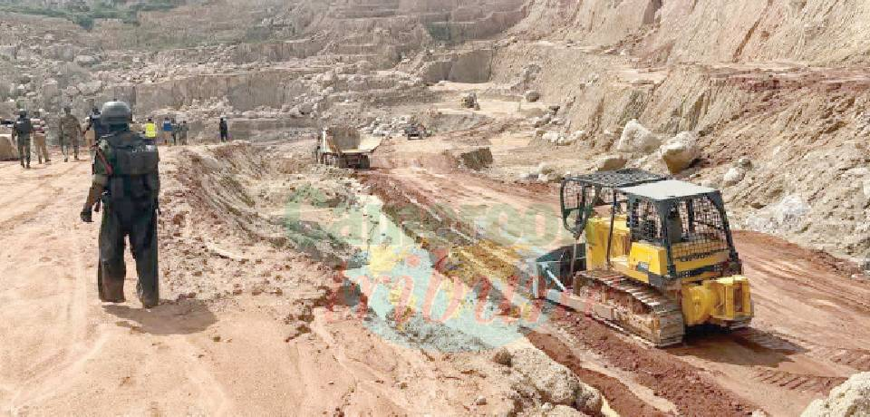
The Geological and Geochemical Mapping Campaign, conducted by the Mining Sector Capacity Building Project, PRECASEM, seeks to unravel the country’s potential which is seemingly limited and appears to be outdated. Experts at the launch disclosed that geophysical and geochemical data are insufficient for vast areas or must be interpreted using modern technologies and approaches where available. 50 per cent of the territory’s geological potential remains unknown. Practitioners say a geological map is a document drafted on the basis of a topographic map and on which are represented the diversity, distribution and architecture of the rocks that are exposed or beneath. The mapping document when ready, will highlight the earth&rsquo...
Cet article complet est réservé aux abonnés
Déjà abonné ? Identifiez-vous >
Accédez en illimité à Cameroon Tribune Digital à partir de 26250 FCFA
Je M'abonne1 minute suffit pour vous abonner à Cameroon Tribune Digital !
- Votre numéro spécial cameroon-tribune en version numérique
- Des encarts
- Des appels d'offres exclusives
- D'avant-première (accès 24h avant la publication)
- Des éditions consultables sur tous supports (smartphone, tablettes, PC)


Commentaires